

Here's Coire an t-Sneachda looking a little wind blasted, after last night's 120 mph winds. Where has all the snow gone? Some did managed to cling onto the Fiachaill Buttress though.
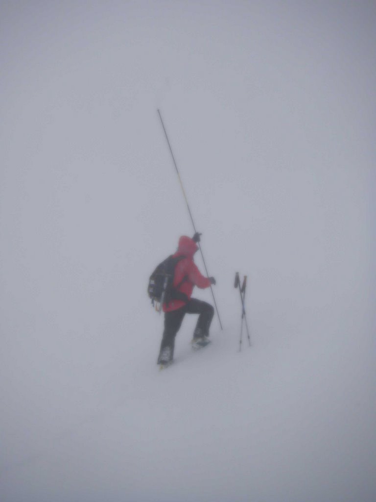
Couldn't see very much in Ciste Mhearad today. There was 80cm of weakly bonded slab at the pit site and deeper accumulations further left; a battle getting back out in the high winds.
The SAIS website cannot be updated until Monday. We will be posting on the blog till then.
NORTHERN CAIRNGORMS
AVALANCHE HAZARD 1500 HRS SAT 20/1/07
There was snow overnight on very strong South-East veering
North-West winds. During the day it was mainly dry but heavy
drifting has led to new accumulations of weakly bonded windslab
building on Northerly through East to South-Easterly aspects
above 900 metres. South-Easterly aspects are mostly affected but
North to East aspects have significant build up in some areas
especially on scarp slopes and crag aprons. The avalanche hazard
is Considerable (Category 3).
AVALANCHE HAZARD OUTLOOK SUN 21/1/07
Snow showers overnight on North-Westerly winds will become more
frequent during the day as winds increase and veer to the North.
New accumulations of weakly bonded windslab will form on
Easterly through South to South-West aspects above 850 metres.
Gully exits and scarp slopes on Northerly aspects will also be
affected. The avalanche hazard will be Considerable (Category
3).
CLIMBING CONDITIONS
SNOW DISTRIBUTION: Deepest accumulations lie mainly on NE to SE
aspects.
ICING: Easterly crags rimed up, N facing crags wind blasted.
Temperatures remaining very cold.
COMMENT: Steep slopes in Northern Corries still have very hard
old snow with serious runouts below.
LOCHABER
AVALANCHE HAZARD 1500 HRS SAT 20/1/07
After a brief thaw last night the temperature dropped during
Saturday. Heavy snow showers and strong Westerly winds have
deposited areas of unstable windslab on North-East to South-East
aspects above 900m. Although there are not great quantities of
this new snow, it does show some very easy shears. The greatest
hazard is at the top of slopes and gullies where deep deposits of
this fresh snow have accumulated. The avalanche hazard is
Considerable (Category 3).
AVALANCHE HAZARD OUTLOOK SUN 21/1/07
Overnight snow showers will ease, and Westerly winds will veer to
the North during Sunday. This will continue to deposit windslab
on North-East to South-East aspects above 900m. This windslab is
expected to show poor stability, and avalanches are likely on
steep slopes and gullies where it accumulates. The hazard will
extend to South aspects later in the day as the wind veers. The
avalanche hazard will be Considerable (Category 3).
CLIMBING CONDITIONS
SNOW DISTRIBUTION: New snow above 500m today, drifting in the
wind.
ICING: Good snow and ice for climbing reported on Ben Nevis.
COMMENT: Large cornices above some routes on Aonach Mor and Ben
Nevis at the moment.
GLENCOE
AVALANCHE HAZARD 1500 HRS SAT 20/1/07
Strong West to North-Westerly winds and snow showers above 350
metres have affected the area. The greatest accumulations of new
snow are above 800 metres. The strong winds have scoured and
re-distributed snow on to NE to SE aspects continuing to form
layered windslab in sheltered locations. The snowpack is weakly
bonded on steep slopes and in gullies on N through to SE facing
aspects above 850 metres. Where these conditions exist the
avalanche hazard is Considerable (Category 3).
AVALANCHE HAZARD OUTLOOK SUN 21/1/07
Frequent snow showers will occur through Saturday night becoming
more scattered on Sunday. Strong Westerly winds becoming
Northerly will continue to build additional windslab in all
sheltered locations with the greatest deposits being on NW
through E to S aspects above 800 metres. Where deep accumulations
of weakly bonded windslab exist it will be unstable especially on
steep slopes around the tops of gullies and on scarp slopes where
avalanches are likely. The avalanche hazard will be Considerable
(Category 3). Cornices will also be unstable.
CLIMBING CONDITIONS
SNOW DISTRIBUTION: Snow above 350 metres with the greatest
deposits in Northerly sheltered corries.
ICING: Becoming colder, freezing level 750 metres during Saturday
night lowering to 600 metres on Sunday.
COMMENT: Buttresses are the safer option.
SOUTHERN CAIRNGORMS
AVALANCHE HAZARD 1500 HRS SAT 20/1/07
Moderately to weakly bonded windslab is present on N through E to
SE aspects above 800 metres. Very sheltered locations on NE to SE
aspects above 900 metres are the most affected holding greater
quantities of re-distributed snow. Exposed locations are wind
scoured and some areas have a thin melt-freeze crust. The
avalanche hazard is Considerable (Category 3).
AVALANCHE HAZARD OUTLOOK SUN 21/1/07
Recent snow will consolidate slowly in the cold temperatures.
Very sheltered locations on NE to SE aspects above 900 metres
will contain moderately to weakly bonded deposits. Moderately
bonded deposits will also be found on N through E to SE aspects
above 800 metres. Scattered snow showers will form limited
accumulations on mainly E to S aspects. The avalanche hazard will
be Considerable (Category 3).
CLIMBING CONDITIONS
SNOW DISTRIBUTION: Mini melt-freeze cycle and re-distribution
have occurred. Exposed areas have thin cover.
ICING: Continuing cold with some ice now forming.
COMMENT: Wind speed will increase through Sunday.
CREAG MEAGAIDH
AVALANCHE HAZARD 1500 HRS SAT 20/1/07
Strong, cold W winds and snow showers have affected the area and
there has been been significant wind transport of existing snow
above 650m. Deep and extensive accumulations of weakly-stabilised
windslab lie on all NE through E to SE aspects above 750m.
Although there has been some localised scouring of a few S
aspects, stability is poorest on corrie backwalls and gully tops
above 850m where new slab build up is now very deep. The
avalanche hazard is High (Category 4). Avalanche and cornice
debris noted below steep SE aspects as low as 750m.
AVALANCHE HAZARD OUTLOOK SUN 21/1/07
It will remain cold with NW then N winds and snow showers that
will become more frequent on Sunday. Additional poorly bonded
windslab will form on NE through E to S aspects above 750m where
avalanches will occur. The avalanche hazard will be High
(Category 4).
CLIMBING CONDITIONS
SNOW DISTRIBUTION: Fresh snow down to 450m on Saturday with heavy
drifting above 650m.
ICING: Observations impossible as the crags were obliterated by
spindrift.
COMMENT: Full on winter conditions here at `Meggie.
No comments:
Post a Comment